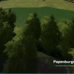
Papenburger Map v1.0.0.3
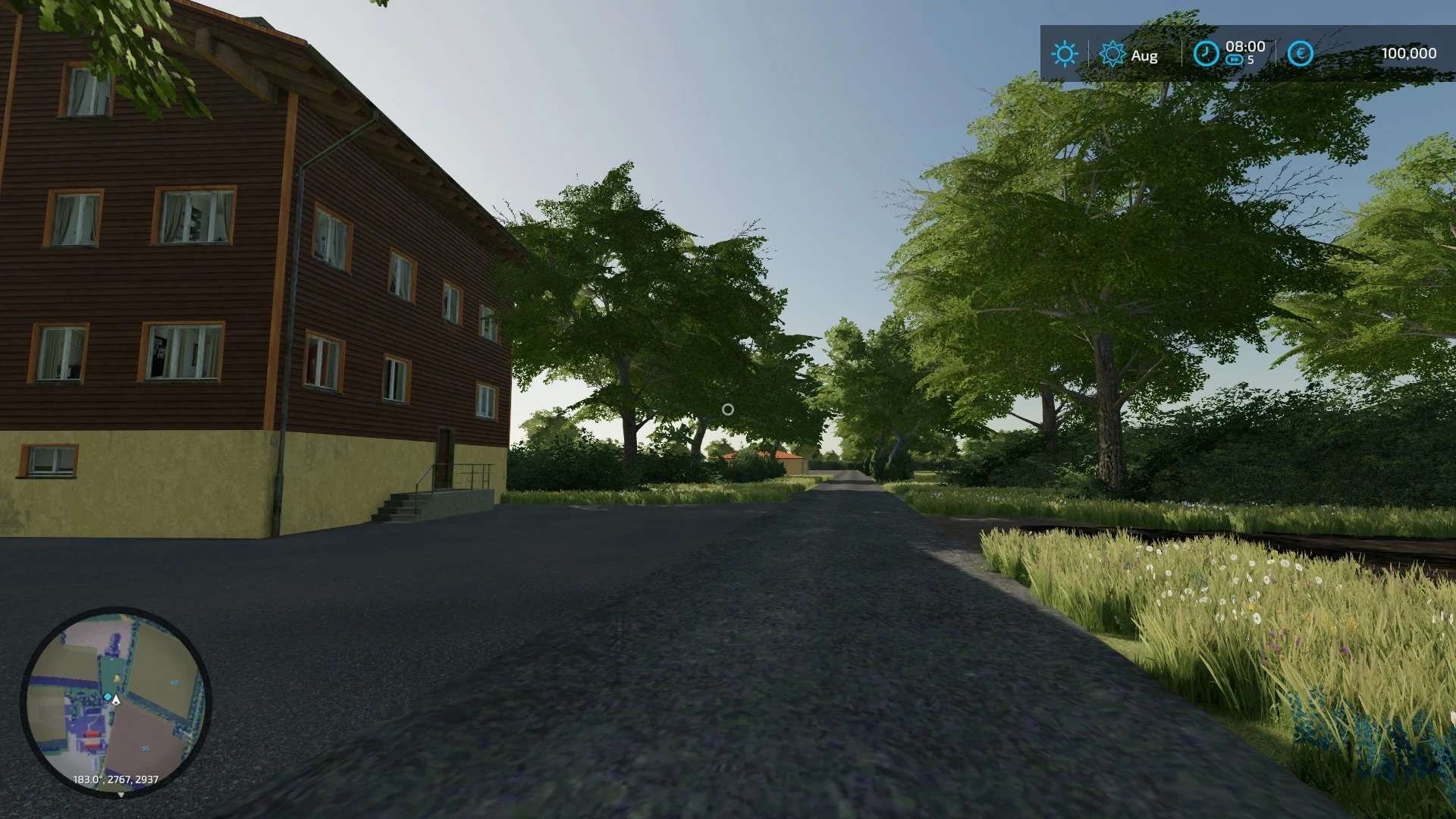
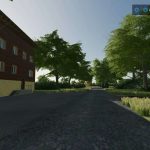
4 Specialist map with regional reproduction of a part from Papenburg.
1.0.0.3 changelog:
– under field 23 trees, hedges and bushes removed
– Connection to field 25 created around the bottom.
– corrected some unsightly things (terrain adaptation)
– Possible to drive from fields 22 to 28 through hedges that have been removed.
– corrected a couple of floating trees.
Important: to activate the update delete the following files from your savegame: densityMap_fruits.gdm / terrain.lod.type.cache / terrain.nmap.cache / splitShapes.gmss / terrain.heightmap.png
But this will change your fields !!! Then corn is endless on the map!! if you don’t want that, keep playing
Jo mai, do we have Christmas already?
Jimkerk Presents
Papenburg Map
Here I am providing you with my Papenburg map. It is not quite final yet. But when is a map ever.
Features
– 4-fold map
– 96 fields of 1-87 hectares of arable land, grassland and forests
– 119 plots hectares price 25000 €
– over 200,000 trees
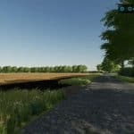
– Extensive field and system of routes
– Lots of free space for courtyards and production facilities
– Basic supply at main sales points. Including Gereide mill, grain store, bakery, cheese dairy, dairy and sawmill
– not final yet !! Path system spines for car workers … free travel possible, but not yet perfected
I have not yet provided any start vehicles.
There will be updates from time to time over the next few weeks and months. So be patient.
There are small warnings but the map works perfectly and has been extensively tested. If anything is seen, please send me picture and coordinates with pn

